

Busani
| Busani | |
|---|---|
| Бусани | |
| [mapframe not available on SimWiki] Interactive map of Busani | |
| Location | Vitim Plateau South Siberian System |
| Coordinates | 55°20′30″N 113°30′42″E / 55.34167°N 113.51167°E |
| Tsipa, Mogoi | |
| Tsipa | |
| 241 km2 (93 sq mi) | |
| Basin countries | Buryatia, Russia |
| Max. length | 12 km (7.5 mi) |
| Max. width | 8.5 km (5.3 mi) |
Surface area | 36.8 km2 (14.2 sq mi) |
| Max. depth | 10 m (33 ft) |
Surface elevation | 1,050 m (3,445 ft) |
| Settlements | Uakit, Busani, Baunt |
Busani (Russian: Бусани) is the name of a body of fresh water in the Bauntovsky District, Buryatia, Russia.[1] The name originated in the Evenki language, meaning "where people drown".[2]
There are spectacular rock formations on the southeastern shore of lake Busani. It was declared a protected area of Russia on 25 July 1988.[3]
Geography
Busani is one of the major lakes of the Baunt Depression, below the southern foothills of the Southern Muya Range.[4] The lake area belongs to the "Tsipo-Tsipikansky" (Ципо-Ципиканских) lake group —named after rivers Tsipa and Tsipikan, which is also known as Bauntovsky (Баунтовских) —after neighboring lake Baunt.[5]
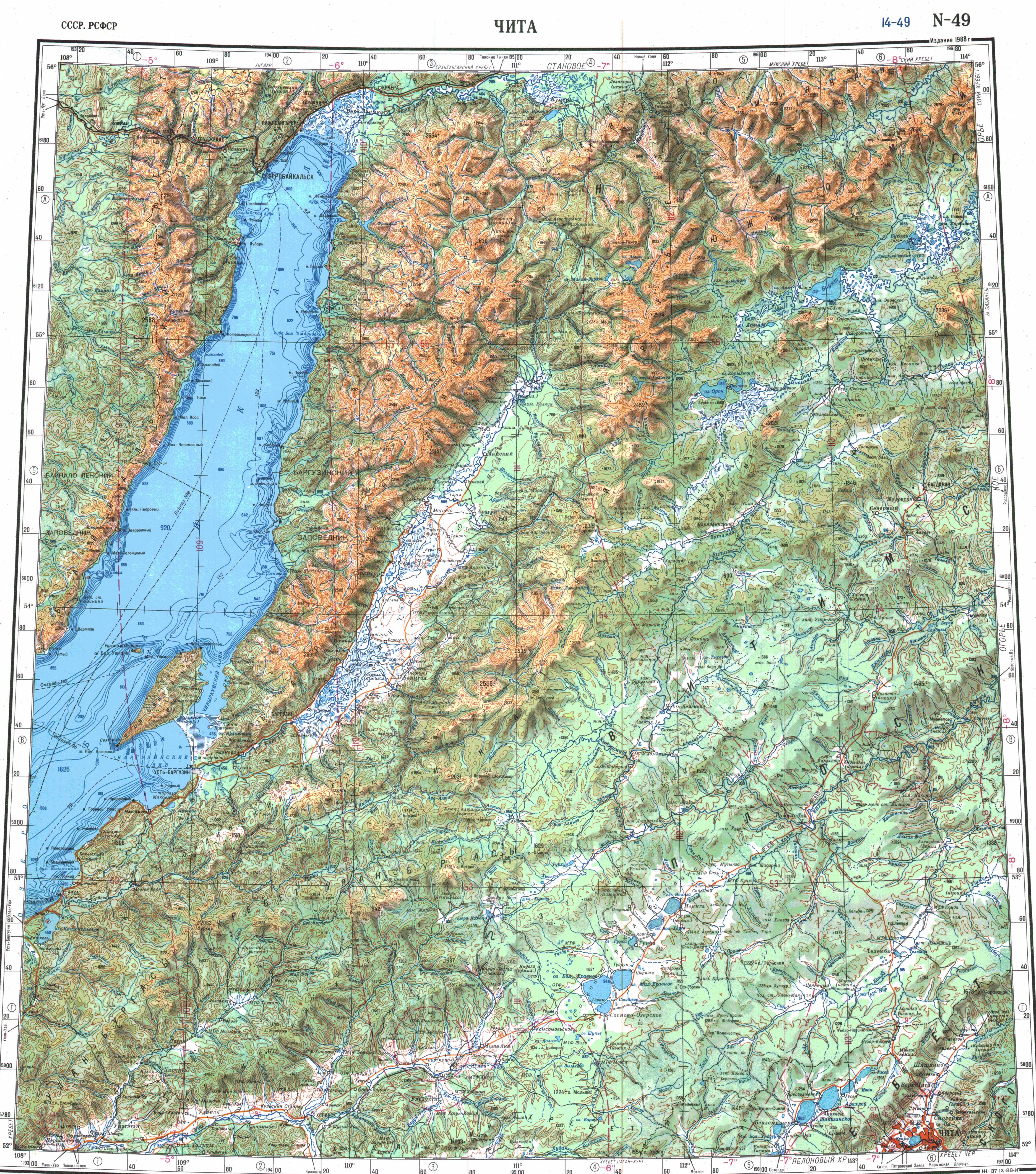
The lake is located at the northwestern corner of the Vitim Plateau, east of lake Baunt. It is a triangular-shaped lake, crossed by the Mogoi river, which connects it with river Tsipa.[6][7] On the southwestern coast there is a hot spring.[8]
The middle of the lake has a section stretching from north to south of irregular-shaped islands and peninsulas with deeply indented shorelines. The village of Busani is located in that area.[6]
Flora and fauna
The bottom of the lake is covered with dense aquatic plant growth. Water lilies rise above the surface in the warm season.[4] The hills surrounding the lake, as well as the islands, are covered with Dahurian larch, Dahurian rhododendron and dwarf cedar.
The lake is rich in fish species, such as ruffe, grayling and Arctic char.[9]
See also
References
- ↑ "Озеро Бусани in the State Water Register of Russia". textual.ru (in русский).
- ↑ Бусани. Забытый остров
- ↑ "Lake Busani — PAs of Russia". Retrieved 9 October 2021.
- ↑ 4.0 4.1 Busani / Great Soviet Encyclopedia: in 30 vols. / Ch. ed. A.M. Prokhorov. - 3rd ed. - M. Soviet Encyclopedia, 1969-1978.
- ↑ Catalog of lakes - Busani
- ↑ 6.0 6.1 Google Earth
- ↑ "N-49 Chart (in Russian)". Retrieved 9 October 2021.
- ↑ Республика Бурятия. Озеро Бусани, термальный источник
- ↑ Morphological, ecological and mtDNA sequence variation in coregonid fish from the Baunt Lake system (the Vitim River basin)
External links
- Wikimedia Commons logo Media related to Busani at Wikimedia Commons
- В поисках озера Бусани Fishing
- «Бусани. Забытый остров»
- Geography of tourism in the Republic of Buryatia

- Pages using gadget WikiMiniAtlas
- CS1 русский-language sources (ru)
- Coordinates not on Wikidata
- Articles using infobox body of water without image
- Articles using infobox body of water without pushpin map
- Articles using infobox body of water without image bathymetry
- Articles containing Russian-language text
- Commons category link is the pagename
- Lakes of Buryatia