

Petukhovo (Severka)
| Petukhovo | |
|---|---|
| Петухово | |
| [mapframe not available on SimWiki] Interactive map of Petukhovo | |
| Location | Kulunda Steppe West Siberian Plain |
| Coordinates | 52°06′25″N 79°09′35″E / 52.10694°N 79.15972°E |
| Type | endorheic |
| Basin countries | Russia |
| Max. length | 3.2 kilometers (2.0 mi) |
| Max. width | 1.4 kilometers (0.87 mi) |
Surface area | 5.5 square kilometers (2.1 sq mi) |
Average depth | 1.2 meters (3 ft 11 in) |
| Residence time | UTC+6 |
Surface elevation | 145.7 meters (478 ft) |
| Settlements | Severka |
Petukhovo (Russian: Петухово),[1] also known as Petukhovskoye Soda Lake (Russian: Петуховское содовое озеро),[2] is an alkaline lake[3] in Klyuchevsky District, Altai Krai, Russian Federation.[4]
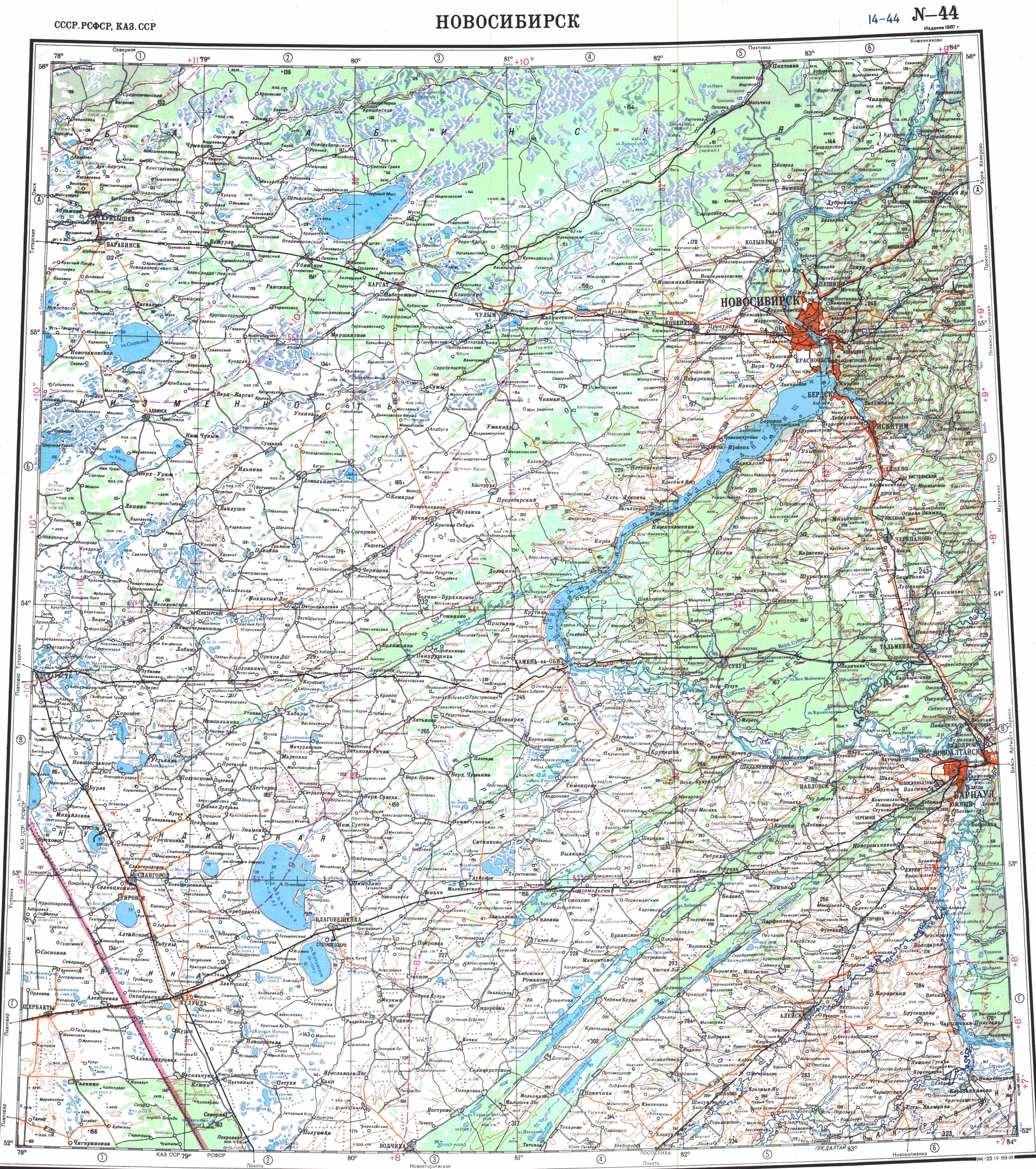
The lake is located at the western edge of the Krai, only 7 kilometers (4.3 mi) east of the Russia-Kazakhstan border. The nearest inhabited place is Severka 5 kilometers (3.1 mi) to the east of the eastern end. Klyuchi, the district capital, lies 13 kilometers (8.1 mi) to the north.[5]
In 1998 the lake was declared a natural monument of regional significance. Petukhovo is a soda lake and there was a soda plant operating near it that had been extracting raw material from it since 1921.[6][7] The company was liquidated in 2006.
Geography
Located in the Kulunda Plain, Petukhovo has an elongated shape, stretching roughly from northeast to southwest for approximately 3 kilometers (1.9 mi). The lake dries during summers of drought, becoming a salt pan. Salt was mined in the lake in the past.[8] The indicator minerals in the sediments of the lake are pyrite, disordered Ca-smectites, and dolomite, the latter being markedly predominant, especially in the lower part of the sediment section. The water has a mineralization of 24.3 grams per liter (3.90 oz/imp gal) and a pH of 9.8.[3]
Metagenomic analyses of lake samples collected in July 2016 indicate the presence of archaea belonging to the Lokiarchaeota group (MAG: Ca. Lokiarchaeota archaeon isolate CSSed165cm_327R1) among other microbes.[9][10]
Lake Gornostalevo lies 17 kilometers (11 mi) to the south and Kurichye 21 kilometers (13 mi) to the ENE. 24 kilometers (15 mi) to the northeast lies lake Petukhovo, near Petukhi.[5]
Flora and fauna
The lake is surrounded by forest steppe. There are also sand dunes.[4][8]
See also
References
- ↑ "Petukhovo in the State Water Register of Russia". verum.icu (in русский).
- ↑ Samylina, Olga; Zaytseva, L.; Sinetova, Maria (2016). "Modern stromatolites from Petukhovskoe Soda Lake (Altai Region, Russia)" (PDF). Палеонтологический журнал (in русский). 2016 (6): 92–101. doi:10.7868/S0031031X16060131. ISSN 0031-031X.
- ↑ 3.0 3.1 состав рассолов и минеральная зональность донных отложений содовых озер КулундинскОЙ степИ (Западная Сибирь)
- ↑ 4.0 4.1 Google Earth
- ↑ 5.0 5.1 "N-44 Topographic Chart (in Russian)". Retrieved 5 September 2024.
- ↑ "Ozero Petukhovskoye". Specially Protected Natural Areas of Russia (in русский). Retrieved 2026-05-13.
- ↑ Основан 100 лет назад. Петуховский содовый завод.
- ↑ 8.0 8.1 Ключевский район - Алтайская краевая универсальная научная библиотека
- ↑ NCBI Nucleotide: MAG: Candidatus Lokiarchaeota archaeon isolate CSSed165cm_327R1.
- ↑ Vavourakis, Charlotte D.; Mehrshad, Maliheh; Balkema, Cherel; van Hall, Rutger; Andrei, Adrian-Ştefan; Ghai, Rohit; Sorokin, Dimitry Y.; Muyzer, Gerard (2019). "Metagenomes and metatranscriptomes shed new light on the microbial-mediated sulfur cycle in a Siberian soda lake". BMC Biology. 17 (1) 69. doi:10.1186/s12915-019-0688-7. PMC 6704655. PMID 31438955. See Additional File 4 (xlsx).
External links
- Pages using gadget WikiMiniAtlas
- CS1 русский-language sources (ru)
- Coordinates not on Wikidata
- Articles using infobox body of water without image
- Articles using infobox body of water without pushpin map
- Articles using infobox body of water without image bathymetry
- Articles containing Russian-language text
- Lakes of Altai Krai
- Endorheic lakes of Asia
- Kulunda Steppe
- Kazakhstan–Russia border